Top Tools for Civil Engineers

In civil engineering, tools play a vital role in successfully executing projects, ranging from small-scale structures to large infrastructure developments. These tools encompass various equipment and technologies that facilitate various tasks, including design, analysis, construction, and maintenance. The significance of these tools cannot be overstated; they are essential for ensuring that projects are completed on time, within budget, and to the highest safety and quality standards.
Technology has revolutionized the civil engineering field, enhancing efficiency and accuracy in numerous ways. Advanced software applications and modeling tools enable engineers to visualize and simulate projects before construction begins, minimizing the risk of errors and costly redesigns. Additionally, modern equipment, such as drones and laser scanning devices, allows for precise measurements and data collection, streamlining the survey and inspection processes. The integration of technology in civil engineering not only improves workflow but also fosters innovation, leading to more sustainable and resilient infrastructure solutions. As the industry continues to evolve, the effective utilization of tools and technology will remain crucial for meeting the challenges of modern civil engineering.
Here is the List of Civil EngineeringTools
Design Software of the Civil Engineers
## AutoCAD

AutoCAD is one of the most widely used design software programs in civil engineering, known for its robust features that facilitate detailed drafting and design. Developed by Autodesk, AutoCAD offers a comprehensive set of tools that empower engineers and architects to create precise and intricate drawings in both 2D and 3D formats.
Features of the AutoCAD
User-Friendly Interface: AutoCAD’s intuitive interface allows users to navigate easily and access a wide range of tools without a steep learning curve. Customizable toolbars and menus enhance workflow efficiency.
2D Drafting Tools: The software provides an extensive suite of 2D drafting tools, enabling users to create lines, shapes, and dimensions with precision. Features like object snap and grid display help in accurate placements.
3D Modeling Capabilities: AutoCAD also supports 3D modeling, allowing engineers to create three-dimensional representations of their designs. This feature includes solid modeling, surface modeling, and mesh modeling, which are essential for visualizing complex structures.
Layer Management: The layer management system allows users to organize different elements of a drawing, making it easier to edit, hide, or isolate components without affecting the entire project.
Annotation and Documentation Tools: AutoCAD includes tools for adding annotations, dimensions, and labels, ensuring that all necessary information is clearly presented within the drawings. This feature enhances communication among project stakeholders.
File Compatibility and Collaboration: The software supports various file formats, allowing for easy sharing and collaboration among team members. Integration with other Autodesk products, such as Revit and Civil 3D, further enhances collaborative efforts.
Applications in Drafting and Design
Site Plans: Engineers can create detailed site plans that illustrate the layout of structures, landscaping, and infrastructure elements, ensuring compliance with zoning regulations and environmental considerations.
Structural Drawings: AutoCAD is essential for drafting structural plans, including foundations, beams, and columns. The precision offered by the software helps in ensuring structural integrity and safety.
Infrastructure Design: From roadways to bridges, AutoCAD aids in the design of essential infrastructure. Engineers can model alignment, grading, and drainage systems, enhancing project feasibility and sustainability.
Utility Mapping: The software facilitates the mapping of utility networks, such as water, sewer, and electrical systems. This capability is crucial for effective planning and maintenance of municipal services.
Construction Documentation: AutoCAD enables the creation of comprehensive construction documents, including specifications and details that guide contractors during the building process, ensuring that projects adhere to design intentions.
AutoCAD serves as a fundamental tool in civil engineering, enhancing design efficiency and accuracy. Its wide range of features and applications makes it indispensable for professionals aiming to create high-quality, precise engineering drawings and designs.
## Revit

Revit is a powerful building information modeling (BIM) software developed by Autodesk that is specifically designed for professionals in the architecture, engineering, and construction (AEC) industries. Its ability to create detailed 3D models and integrate various aspects of building design makes it an essential tool in modern civil engineering.
Importance of Building Information Modeling (BIM)
Enhanced Visualization: Revit’s BIM capabilities allow engineers and architects to create highly detailed 3D models that provide a realistic representation of a project. This enhanced visualization aids in understanding complex designs and facilitates better decision-making throughout the project lifecycle.
Data-Rich Models: Unlike traditional CAD software, Revit integrates data directly into the model. Each element in the design contains detailed information, such as material specifications, dimensions, and performance characteristics. This data-driven approach improves accuracy and efficiency in design and construction processes.
Lifecycle Management: BIM promotes a holistic view of a building’s lifecycle, from initial design and construction to maintenance and operation. Revit enables users to simulate various scenarios, assess sustainability impacts, and optimize energy performance, ultimately leading to more efficient buildings.
Improved Analysis: Revit allows for advanced analysis tools that can assess structural integrity, energy usage, and environmental impact. This capability helps engineers make informed design decisions that enhance the overall performance and sustainability of a project.
Regulatory Compliance: The software’s ability to generate precise documentation and reports aids in ensuring compliance with local building codes and regulations. This feature is crucial for expediting the approval process and mitigating legal risks.
Collaboration Capabilities of the Revit
Multi-Disciplinary Coordination: Revit facilitates collaboration among various disciplines involved in a project, including architects, structural engineers, and MEP (mechanical, electrical, and plumbing) engineers. The software allows for the integration of different models into a single coordinated environment, minimizing conflicts and discrepancies.
Cloud-Based Collaboration: With tools like BIM 360, Revit supports cloud-based collaboration, enabling project teams to access and work on models from different locations. This capability enhances communication and coordination among team members, reducing delays and improving project efficiency.
Real-Time Updates: Changes made in one part of the model are automatically reflected across all views and documentation, ensuring that all stakeholders are working with the most current information. This real-time updating reduces errors and the need for manual adjustments, streamlining the workflow.
Version Control and Documentation: Revit maintains a comprehensive history of changes made to the model, allowing teams to track modifications, revert to previous versions if needed, and ensure that everyone is aligned on the latest design iterations. This feature is particularly beneficial for maintaining clear documentation throughout the project.
Enhanced Communication: The software supports various visualization tools, such as 3D walkthroughs and fly-throughs, that help communicate design intent to clients and stakeholders. This enhanced communication fosters better understanding and collaboration among all parties involved in the project.
Revit is a vital tool in civil engineering, primarily due to its emphasis on Building Information Modeling (BIM) and its robust collaboration capabilities. By leveraging these features, civil engineers can enhance design accuracy, streamline project workflows, and improve overall project outcomes.
## Civil 3D

Civil 3D is a specialized civil engineering design and documentation software developed by Autodesk. It is specifically tailored for civil engineers, enabling them to perform a wide range of tasks related to land development, transportation, and infrastructure projects. With its focus on civil design, Civil 3D enhances productivity, accuracy, and collaboration in project execution.
Focus on Civil Design and Documentation
Terrain Modeling: Civil 3D allows engineers to create detailed terrain models, utilizing data from surveys and GIS systems. These models help in visualizing the existing topography, which is crucial for effective design and planning.
Design of Grading and Drainage: The software includes tools for grading and drainage design, enabling users to create surface designs that effectively manage stormwater runoff and meet local regulations. This capability is vital for preventing erosion and maintaining site stability.
Road and Alignment Design: Civil 3D facilitates the design of roads, highways, and alignments. Engineers can define horizontal and vertical alignments, perform sight distance analysis, and generate profiles and cross-sections, ensuring compliance with design standards.
Automatic Generation of Plan Sets: The software automates the production of plan sets, including profiles, cross-sections, and details, significantly reducing the time required to produce construction documents. This feature enhances efficiency and ensures that all documentation is consistent and accurate.
Dynamic Updates: Civil 3D’s dynamic model updates automatically reflect changes made in the design. For example, if the alignment of a road is adjusted, all associated drawings and profiles update in real time, minimizing errors and improving workflow efficiency.
Advantages in Land Development and Transportation Projects
Streamlined Workflow: Civil 3D enhances collaboration among various stakeholders, including surveyors, planners, and contractors, by providing a unified platform for data sharing and design. This streamlined workflow reduces miscommunication and accelerates project timelines.
Enhanced Site Planning: The software supports effective site planning through tools that allow for quick analysis of site conditions and constraints. Engineers can simulate different design scenarios, evaluate their impact on the site, and optimize land use, leading to better decision-making.
Integration with GIS Data: Civil 3D can integrate geographic information system (GIS) data, allowing engineers to incorporate vital spatial information into their designs. This integration enhances the accuracy of project planning and ensures compliance with environmental regulations.
Improved Transportation Design: For transportation projects, Civil 3D provides tools for designing highways, roads, and intersections with precision. The software enables engineers to analyze traffic patterns, perform capacity analysis, and optimize geometric designs, enhancing safety and efficiency.
Cost and Time Savings: By automating routine tasks and enabling real-time updates, Civil 3D significantly reduces the time spent on design and documentation. This efficiency translates into cost savings for projects, allowing teams to allocate resources more effectively.
Regulatory Compliance: The software includes features to help ensure designs meet local and federal regulations, such as environmental assessments and permitting requirements. This capability is crucial for preventing delays and ensuring project approval.
Civil 3D is an essential tool for civil engineering focused on design and documentation. Its robust features and advantages in land development and transportation projects enhance productivity, improve collaboration, and ensure compliance with regulatory standards. By leveraging Civil 3D, civil engineers can deliver high-quality projects that meet the needs of communities and stakeholders.
Project Management Tools of the Civil Engineer
Effective project management is critical in civil engineering, where projects often involve multiple stakeholders, extensive timelines, and strict regulatory requirements. Project management tools help in planning, scheduling, tracking progress, and ensuring that all tasks are completed on time and within budget. This section explores some of the most popular project management tools used in civil engineering: Primavera P6, Microsoft Project, and Trello.
## Primavera P6

Primavera P6, developed by Oracle, is one of the most powerful project management software tools, specifically designed for handling large, complex projects. It is widely used in construction and civil engineering for its robust scheduling and management capabilities.
Scheduling and Project Management Features
Advanced Scheduling: Primavera P6 allows project managers to create detailed schedules with thousands of activities, organized into work breakdown structures (WBS). It supports complex dependencies and constraints, enabling precise timeline management.
Resource Allocation: The software includes features for resource management, allowing managers to assign labor, materials, and equipment to specific tasks. It helps in tracking resource availability and utilization, ensuring efficient use of resources.
Risk Management: Primavera P6 incorporates risk management tools that allow project teams to identify, assess, and mitigate potential risks. This feature is crucial for managing uncertainties and maintaining project timelines.
Critical Path Method (CPM): The software supports CPM, a widely used technique for determining the longest sequence of activities that must be completed on time to meet project deadlines. This ensures that project managers can focus on critical tasks to avoid delays.
Cost Control: Primavera P6 provides comprehensive cost management features, enabling managers to track budgets, forecast costs, and manage expenses throughout the project lifecycle.
Benefits for Large-Scale Projects
Handling Complex Projects: Primavera P6 is built to handle the complexity of large-scale civil engineering projects, such as infrastructure developments, bridges, and highways. Its ability to manage thousands of tasks, resources, and risks makes it indispensable for such undertakings.
Enhanced Collaboration: Primavera P6 supports collaboration across large project teams, enabling multiple users to access and update schedules simultaneously. This feature is particularly beneficial for global projects where teams work across different locations and time zones.
Data-Driven Decision Making: The software provides advanced analytics and reporting tools that allow project managers to make informed decisions based on real-time data. This helps in improving project outcomes and avoiding costly mistakes.
Regulatory Compliance: Primavera P6 helps in maintaining documentation and schedules that meet industry regulations and standards, ensuring compliance with legal requirements.
## Microsoft Project

Microsoft Project is a versatile project management tool known for its user-friendly interface and seamless integration with other Microsoft tools like Excel, SharePoint, and Teams. It is widely used in civil engineering for project planning, scheduling, and tracking.
User-Friendly Interface
Intuitive Design: Microsoft Project’s interface is familiar to users of other Microsoft Office products, making it easy to learn and use. Project managers can quickly create tasks, assign resources, and build schedules using drag-and-drop functionality.
Task Scheduling: The software provides robust scheduling tools, allowing users to define task dependencies, milestones, and critical paths. Gantt charts are automatically generated, giving a clear visual representation of project timelines.
Resource Management: Microsoft Project allows for the allocation of resources such as labor, equipment, and materials. It provides an overview of resource workloads and identifies potential over-allocations, ensuring efficient use of resources.
Progress Tracking: The software includes tools for tracking the progress of tasks and identifying any delays. This helps in ensuring that projects stay on schedule and within budget.
Integration with Other Microsoft Tools
Seamless Integration: Microsoft Project integrates seamlessly with other Microsoft tools, such as Excel for data analysis, SharePoint for document sharing, and Teams for communication and collaboration. This integration streamlines workflows and improves team productivity.
Data Sharing: Project data can be easily shared with stakeholders using familiar Microsoft formats, such as Word or PowerPoint. This makes reporting and communication more efficient.
Cloud-Based Collaboration: With Microsoft Project Online, teams can collaborate on projects in real time, regardless of their location. This cloud-based solution ensures that all team members are working with the latest project data.
## Trello

Trello is a visual project management tool known for its simplicity and flexibility. Its card-based interface makes it ideal for organizing tasks, tracking progress, and fostering collaboration among team members, especially in smaller or less complex projects.
Visual Project Management Approach
Kanban Boards: Trello uses a visual board system, where tasks are represented by cards that can be moved across different stages (e.g., “To Do,” “In Progress,” “Completed”). This Kanban-style approach provides a clear and intuitive way to track project progress at a glance.
Customizable Workflows: Teams can easily customize boards to suit their project needs, creating lists for different phases or categories of tasks. This flexibility makes Trello useful for a wide variety of project types, from small maintenance jobs to larger engineering tasks.
Task Management: Each card on a Trello board represents a task and can include details such as descriptions, checklists, due dates, attachments, and assigned team members. This makes it easy to manage and prioritize tasks within a project.
Ideal for Team Collaboration and Task Tracking
Collaborative Features: Trello supports team collaboration by allowing multiple users to add, update, and move cards in real time. Team members can leave comments, upload files, and tag each other in discussions, facilitating communication.
Simple Task Tracking: The visual nature of Trello’s boards makes it easy to see the status of each task and who is responsible for it. This is particularly useful for smaller teams or departments managing multiple projects simultaneously.
Integration with Other Tools: Trello integrates with popular tools like Slack, Google Drive, and Dropbox, enabling teams to streamline their workflows and centralize communication.
project management tools like Primavera P6, Microsoft Project, and Trello provide civil engineers with essential features for scheduling, tracking, and collaborating on projects. While Primavera P6 is best suited for large-scale, complex projects, Microsoft Project offers a more accessible solution with strong integration capabilities, and Trello shines in its visual simplicity and ease of collaboration for smaller teams. Each tool has its strengths, and the choice depends on the scale and specific needs of the project.
Structural Analysis Tools of the Civil Engineer
Structural analysis tools are essential in civil engineering for evaluating the behavior of structures under various loads and conditions. These tools help engineers ensure that structures are safe, stable, and capable of withstanding forces like wind, earthquakes, and live loads. This section explores some of the most widely used structural analysis tools: SAP2000, STAAD.Pro, and ETABS, highlighting their unique features and applications in civil engineering projects.
## SAP2000

SAP2000, developed by Computers and Structures, Inc. (CSI), is a versatile structural analysis and design software used in civil engineering for a wide range of structures, from simple to complex. Its powerful analysis capabilities make it ideal for evaluating different types of structural systems.
Versatility in Structural Analysis
Comprehensive Analysis Tools: SAP2000 offers a variety of analysis options, including linear and nonlinear static analysis, dynamic analysis, buckling analysis, and seismic analysis. This versatility allows engineers to evaluate how structures behave under different conditions, such as earthquakes or wind loads.
Wide Range of Applications: The software is highly flexible, making it suitable for designing buildings, bridges, towers, dams, and even offshore structures. SAP2000 can handle both simple beams and columns as well as intricate geometries, making it one of the most adaptable tools in structural engineering.
User-Friendly Interface: Despite its powerful capabilities, SAP2000 features an intuitive interface that allows users to model and analyze structures efficiently. Engineers can visualize their designs in both 2D and 3D, facilitating better understanding and refinement of the models.
Case Studies or Examples of Use
Bridges: SAP2000 has been used extensively in the design and analysis of bridges. For example, the software was instrumental in the structural analysis of the Stonecutters Bridge in Hong Kong, one of the longest cable-stayed bridges in the world. Its ability to model complex geometries and simulate dynamic load effects made it ideal for this project.
High-Rise Buildings: SAP2000 has been employed in the design of high-rise buildings around the world. The Burj Khalifa in Dubai, the tallest building globally, relied on SAP2000’s advanced analysis features to ensure the structure could withstand wind and seismic forces.
## STAAD.Pro
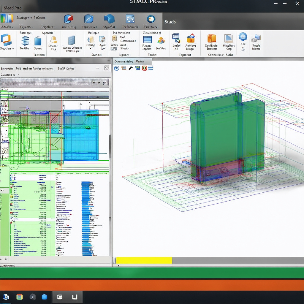
STAAD.Pro, developed by Bentley Systems, is another leading structural analysis and design software used across civil engineering projects. It is known for its strength in designing a variety of structures, including buildings, bridges, towers, and industrial plants.
Importance in Designing Various Structures
Wide Range of Structural Design Capabilities: STAAD.Pro supports the design of multiple types of structures, including concrete, steel, timber, and aluminum. This flexibility allows engineers to design a wide array of structures, from small residential buildings to large industrial complexes.
Global Compliance: STAAD.Pro incorporates a wide range of international design codes, allowing engineers to ensure that their designs meet local and global standards. This is crucial for projects that span multiple regions or countries.
Advanced Features for Analysis
Finite Element Analysis (FEA): STAAD.Pro includes advanced finite element analysis capabilities, allowing engineers to analyze complex structures with precision. This feature is particularly useful for structures with irregular geometries or those subjected to complex loading conditions.
Dynamic Analysis: STAAD.Pro offers dynamic analysis tools to assess the effects of vibrations, wind loads, and seismic forces. This is critical for designing structures in earthquake-prone regions or areas exposed to strong winds.
Design Optimization: STAAD.Pro allows engineers to optimize their designs by adjusting parameters such as material properties and cross-sections to achieve the most efficient structure in terms of cost and performance. This feature helps in reducing material waste and improving sustainability.
Integration with BIM: STAAD.Pro integrates with Building Information Modeling (BIM) workflows, enhancing collaboration between engineers, architects, and contractors. This integration ensures that structural designs are aligned with the overall project design, reducing errors and improving efficiency.
## ETABS
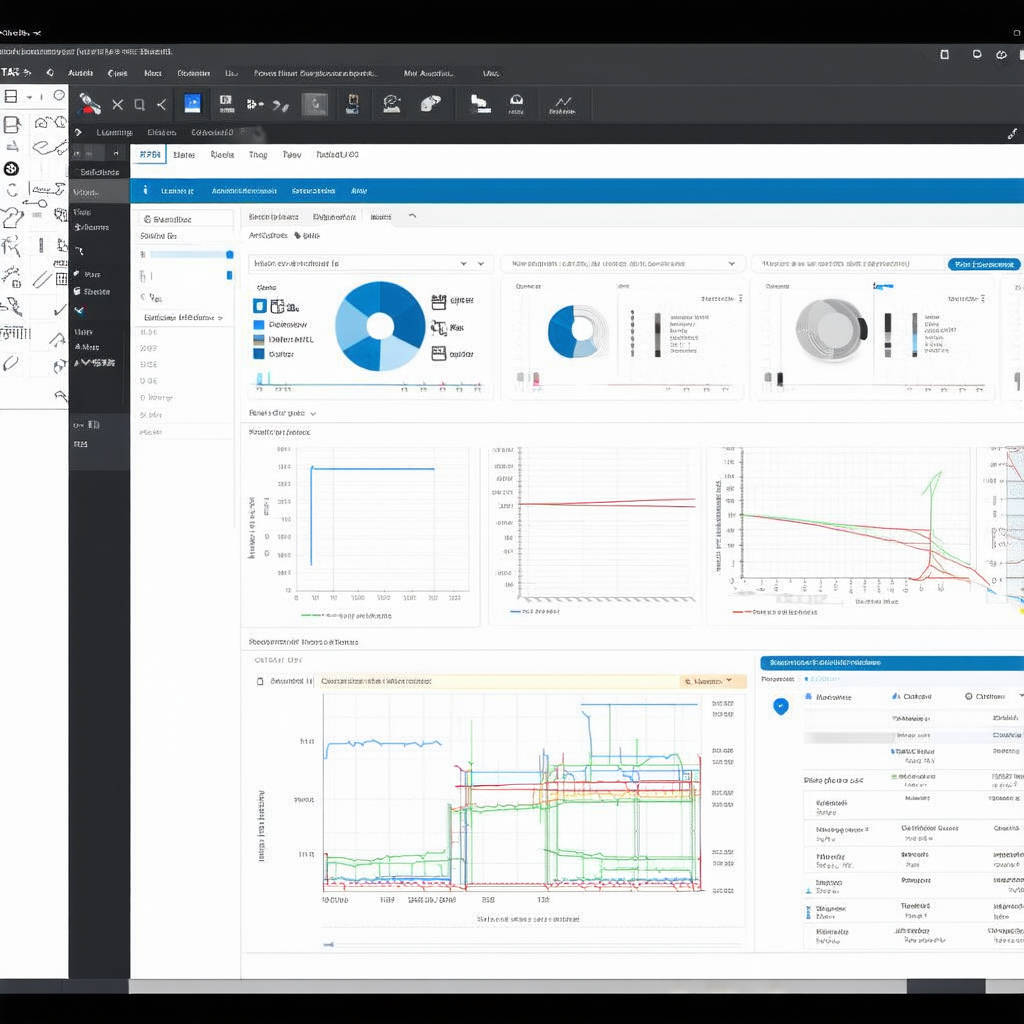
ETABS, also developed by Computers and Structures, Inc. (CSI), is specifically designed for the analysis and design of multi-story buildings. It is widely regarded for its focus on high-rise and complex building structures, offering powerful tools to analyze both steel and concrete systems.
Focus on Multi-Story Building Analysis
Tailored for High-Rise Buildings: ETABS is optimized for the analysis of multi-story buildings, providing specialized tools for the design of complex structural systems like shear walls, frames, and braced systems. It simplifies the modeling process for tall buildings, allowing engineers to efficiently create detailed models.
Advanced Seismic Analysis: The software includes advanced seismic analysis features, making it ideal for the design of buildings in earthquake-prone areas. ETABS can perform response spectrum analysis, time-history analysis, and pushover analysis to evaluate how a building will respond to seismic forces.
Story-Based Modeling: ETABS utilizes a story-based modeling approach, which allows engineers to define parameters for each floor of a building. This makes it easier to apply loads, constraints, and design criteria specific to each level, significantly improving design efficiency.
Integration with Other Tools for Efficient Design
Seamless BIM Integration: ETABS integrates with BIM tools such as Revit, allowing for smooth data exchange between architects and structural engineers. This integration improves collaboration and ensures that the structural design is consistent with the architectural model.
3D Visualization: ETABS offers 3D visualization tools that help engineers and architects better understand the building’s structural behavior. This enhances communication between stakeholders and facilitates faster decision-making.
Design Automation: The software automates many design tasks, such as creating reinforcement details for concrete structures or generating steel connection designs. This automation saves time and ensures that designs meet code requirements.
Comprehensive Reporting: ETABS provides detailed reports and documentation for all phases of structural design, including analysis results, design checks, and material takeoffs. These reports are critical for ensuring that all project stakeholders are informed and that the structure complies with local building codes.
Surveying Tools of the Civil Engineer
Surveying tools play a crucial role in civil engineering by providing precise measurements that form the foundation for design and construction projects. Whether it is mapping land, assessing terrain, or monitoring project progress, accurate surveying is essential for successful outcomes. This section focuses on three key surveying tools: Total Station, GPS Surveying Equipment, and Drones, highlighting their importance and applications in modern civil engineering.
## Total Station
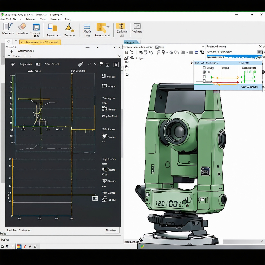
A Total Station is a versatile electronic instrument used for land surveying that combines the functions of a theodolite and an electronic distance measurement (EDM) device. It is widely used in civil engineering for tasks that require high precision, such as mapping, construction layout, and topographic surveys.
Importance in Land Surveying
Accuracy and Precision: Total Stations are essential for land surveying due to their ability to provide highly accurate measurements of angles and distances. This precision is critical for defining property boundaries, creating topographic maps, and setting out construction points with exact coordinates.
Versatility in Applications: Total Stations are used for various surveying tasks, from small-scale residential projects to large infrastructure developments like roads, bridges, and tunnels. Their flexibility makes them indispensable for surveyors and civil engineers working in diverse environments.
Key Features and Accuracy Benefits
Electronic Distance Measurement (EDM): Total Stations use lasers to measure distances with exceptional accuracy, typically up to millimeters over several kilometers. This feature ensures that surveys are highly accurate, reducing the likelihood of errors in design and construction.
Angle Measurement: The instrument can measure both horizontal and vertical angles, providing essential data for calculating elevations, slopes, and terrain features.
Data Recording and Integration: Total Stations can store measurement data digitally, which can be easily transferred to computers for further analysis. This digital integration enhances efficiency and reduces the possibility of manual errors.
Real-Time Communication: Advanced Total Stations can be equipped with GPS or wireless communication modules, allowing real-time data sharing between surveyors in the field and project teams in the office.
Survey Accuracy: Total Stations are known for their ability to provide extremely accurate data, which is crucial for projects that require precise layouts, such as building foundations or road alignments. The combination of angular and distance measurements ensures detailed and reliable results.
## GPS Surveying Equipment
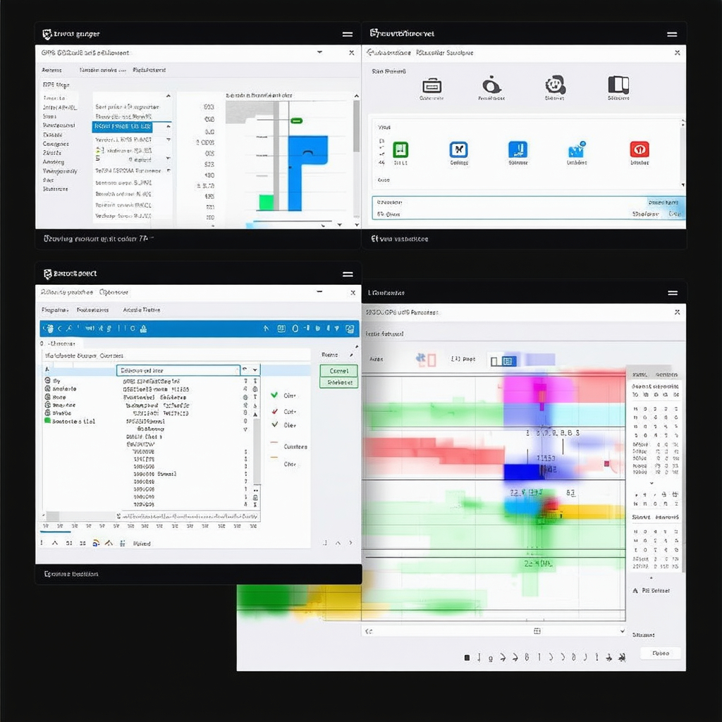
GPS (Global Positioning System) surveying equipment has revolutionized the field of land surveying by providing fast, accurate positioning information. These systems use signals from satellites to determine exact coordinates of points on the Earth’s surface, making them a valuable tool in civil engineering.
Advancements in GPS Technology
High-Precision GPS Systems: Modern GPS surveying equipment, including RTK (Real-Time Kinematic) GPS systems, provides centimeter-level accuracy in real time. This is a significant improvement over traditional GPS systems, which were limited to meter-level accuracy.
Multi-Constellation Support: Advances in GPS technology now allow receivers to use signals from multiple satellite constellations, such as GLONASS, Galileo, and BeiDou, in addition to the U.S. GPS system. This improves the reliability and accuracy of positioning, even in challenging environments like urban canyons or dense forests.
Integration with Other Tools: GPS surveying equipment can be integrated with other surveying tools like Total Stations or GIS software, enabling surveyors to combine high-accuracy data from multiple sources for more comprehensive analysis.
Applications in Civil Engineering Projects
Land Development: GPS surveying is widely used in land development projects to map large areas quickly and accurately. Engineers use this data for site planning, road layouts, and subdivision mapping.
Infrastructure Projects: In road construction, bridge building, and utility installations, GPS systems help surveyors mark precise locations for construction. This ensures that projects are built according to design specifications.
Topographic Surveys: GPS equipment allows surveyors to create detailed topographic maps by capturing elevation data efficiently over vast areas. This is particularly useful for planning drainage systems, grading, and other earthworks.
Monitoring and Maintenance: GPS systems can be used to monitor infrastructure over time, detecting shifts or deformations in structures like bridges or dams. This capability helps in maintaining the safety and longevity of critical infrastructure.
## Drones
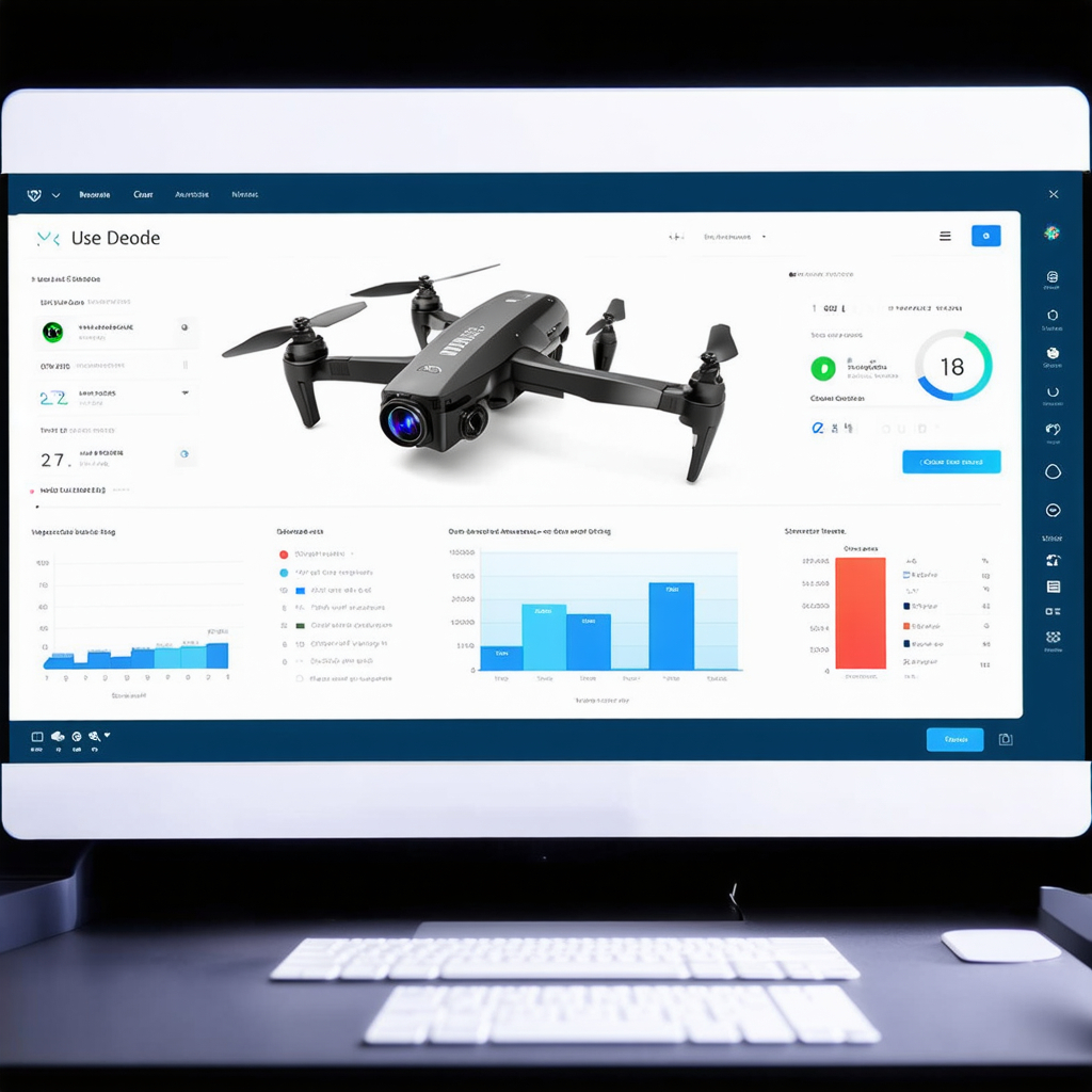
Drones, or Unmanned Aerial Vehicles (UAVs), have become increasingly popular in civil engineering for their ability to capture aerial images and collect data from difficult-to-reach areas. Their versatility and efficiency make them a valuable tool for site surveys, inspections, and data collection.
Use of Drones for Site Surveys and Inspections
Aerial Surveying: Drones equipped with high-resolution cameras and LiDAR sensors can capture detailed aerial images of large areas in a fraction of the time it would take using traditional methods. This makes them ideal for surveying large construction sites, infrastructure projects, or environmentally sensitive areas.
Inspections of Inaccessible Areas: Drones can access hard-to-reach places, such as the tops of tall structures, bridges, or transmission towers. This capability allows engineers to perform inspections without the need for scaffolding or cranes, reducing costs and improving safety.
Real-Time Data Collection: Drones can collect data in real time, providing immediate insights into site conditions. This enables project managers and engineers to make timely decisions based on up-to-date information.
Benefits of Aerial Imagery and Data Collection
High-Resolution Aerial Imagery: Drones capture high-resolution images and videos from various angles, providing a comprehensive view of the project site. This imagery is invaluable for monitoring progress, identifying potential issues, and communicating with stakeholders.
3D Modeling and Mapping: Using photogrammetry and LiDAR technology, drones can generate detailed 3D models and digital elevation maps (DEMs) of the terrain. These models are essential for planning, design, and excavation work.
Faster and More Efficient Surveys: Drones can cover large areas quickly, reducing the time and labor required for traditional ground-based surveys. This efficiency is particularly beneficial for time-sensitive projects or those in remote locations.
Enhanced Safety: By using drones for inspections and surveys in hazardous environments, such as construction sites or industrial facilities, engineers can minimize the risks to human surveyors.
Cost Savings: The use of drones reduces the need for expensive equipment like helicopters or scaffolding, resulting in significant cost savings, especially on large projects.
surveying tools like Total Stations, GPS Surveying Equipment, and Drones are crucial for accurate and efficient data collection in civil engineering projects. Total Stations provide the precision needed for land surveying, while GPS equipment offers advancements in speed and accuracy for various applications. Drones enhance surveying and inspection efficiency with aerial imagery and real-time data, offering significant benefits for site analysis, project management, and safety. Together, these tools enable civil engineers to plan, design, and execute projects with greater accuracy and confidence.
Environmental and Geotechnical Tools
Environmental and geotechnical tools play a critical role in civil engineering, as they help assess site conditions, ensure the stability of structures, and evaluate environmental impacts. These tools allow engineers to analyze soil behavior, groundwater flow, and other environmental factors to create designs that are safe, sustainable, and compliant with regulatory standards. This section discusses two key tools: GeoStudio and ArcGIS, highlighting their applications and benefits in civil engineering projects.
## GeoStudio
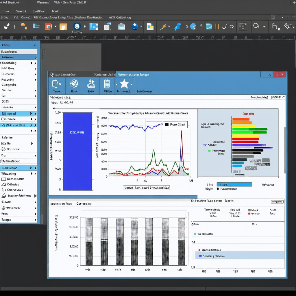
GeoStudio, developed by Geo-Slope International, is a comprehensive suite of software tools for geotechnical engineering and environmental analysis. It is widely used for the design and analysis of earthworks, foundations, slopes, and groundwater conditions.
Applications in Geotechnical Engineering
Slope Stability Analysis: GeoStudio is extensively used for slope stability analysis, which is crucial for projects involving embankments, road cuts, dams, and other earthworks. It helps engineers determine the factor of safety against slope failure under various conditions, such as rainfall, seismic activity, and construction loading.
Seepage and Groundwater Flow: One of GeoStudio’s core applications is the analysis of groundwater flow and seepage. This is vital for projects where water flow through soil or rock could compromise the stability of structures, such as in dam construction or underground tunneling.
Stress and Deformation: The software allows engineers to analyze how soils and rocks will deform under different loads. This capability is critical for foundation design and predicting the settlement of buildings and other structures over time.
Contaminant Transport: GeoStudio also includes tools for modeling the movement of contaminants in groundwater. This is important in environmental assessments, especially for projects near landfills, industrial sites, or other potentially polluted areas.
Importance of Slope Stability and Groundwater Analysis
Ensuring Structural Integrity: Slope stability analysis is crucial in preventing landslides and ensuring that embankments, retaining walls, and slopes remain stable under various conditions. GeoStudio’s detailed analysis helps identify potential failure mechanisms, allowing engineers to design safer, more resilient structures.
Water Management: Groundwater analysis is essential for managing water flow in and around civil engineering projects. GeoStudio enables engineers to assess seepage through dams, levees, or foundations, helping to prevent water-related failures and ensuring the longevity of structures.
Environmental Protection: In environmental projects, GeoStudio assists in modeling how groundwater interacts with contaminants, allowing engineers to design systems that prevent the spread of pollutants. This analysis is critical for protecting ecosystems and complying with environmental regulations.
## ArcGIS
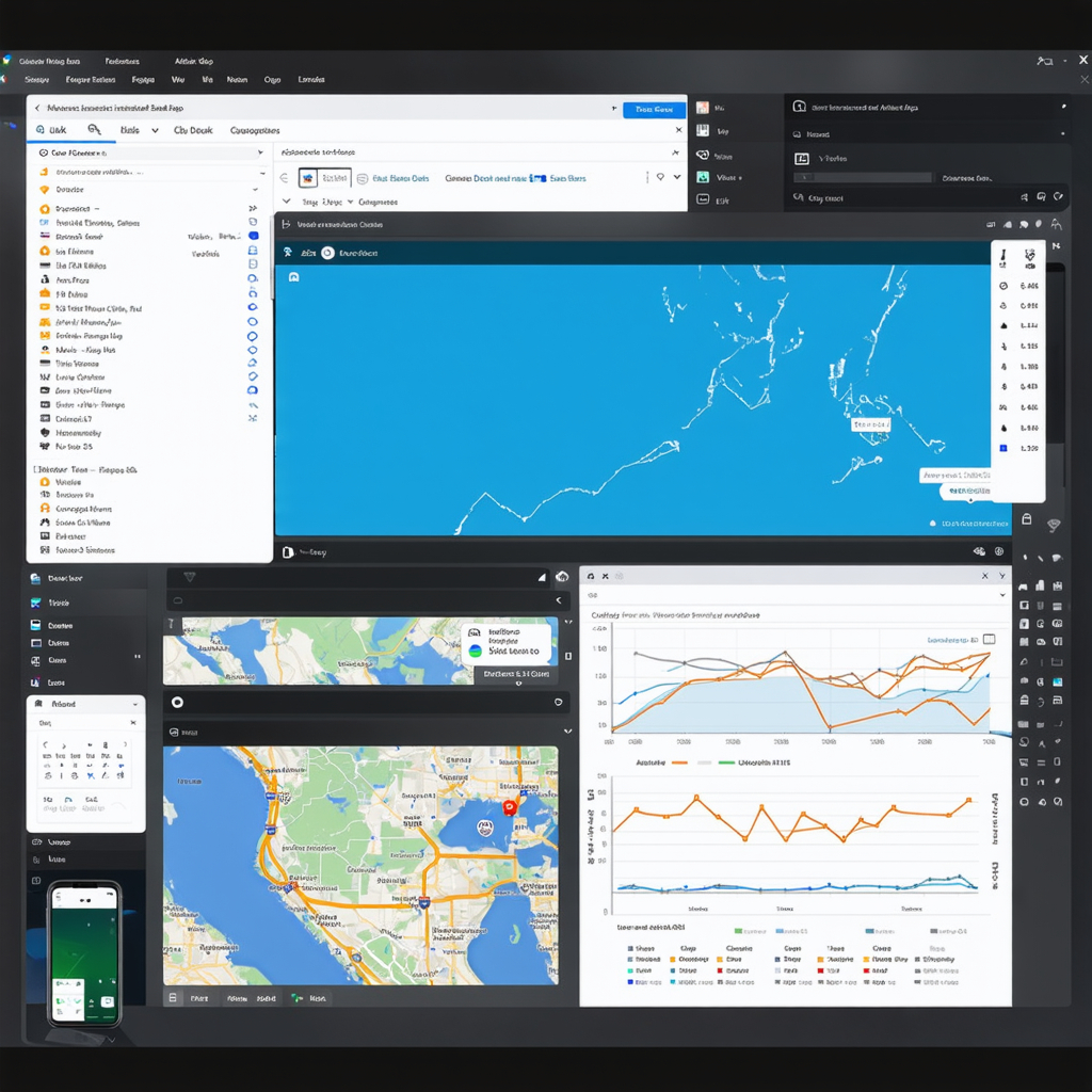
ArcGIS, developed by Esri, is a leading Geographic Information System (GIS) platform used for spatial analysis, mapping, and data visualization. In civil engineering, ArcGIS is widely employed for planning, environmental assessments, and project management.
Geographic Information Systems (GIS) for Planning and Analysis
Spatial Data Management: ArcGIS enables engineers to manage and analyze spatial data, such as topography, land use, and infrastructure networks. This capability is essential for project planning, as it allows teams to visualize and evaluate site conditions over large areas.
Terrain and Hydrological Analysis: ArcGIS is used to analyze terrain data and model hydrological features, such as watersheds and floodplains. These analyses are critical for designing drainage systems, assessing flood risks, and determining the suitability of land for construction.
Mapping and Visualization: ArcGIS provides powerful tools for creating detailed maps that can display a wide range of data, from soil types and vegetation to zoning boundaries and transportation networks. These maps are invaluable for decision-making and communication with stakeholders.
Environmental Impact Assessments: In environmental projects, ArcGIS helps engineers evaluate potential impacts on ecosystems, wildlife habitats, and natural resources. By overlaying data on land use, pollution sources, and protected areas, engineers can assess the sustainability of proposed developments and design projects to minimize environmental harm.
Benefits in Environmental Assessments
Data Integration: ArcGIS allows engineers to integrate various types of data, such as aerial imagery, satellite data, and on-the-ground survey data. This holistic view of the project area helps in making more informed decisions, especially in complex environmental assessments.
Risk Assessment and Mitigation: By using ArcGIS to analyze environmental risks, such as flood zones or areas prone to landslides, engineers can identify potential hazards early in the planning process. This helps in designing mitigation strategies, such as flood protection systems or erosion control measures.
Sustainability Planning: ArcGIS plays a vital role in sustainable urban planning by providing tools to assess land use patterns, resource availability, and environmental constraints. These insights help engineers design infrastructure that minimizes ecological impact while meeting the needs of growing populations.
Regulatory Compliance: GIS tools like ArcGIS are essential for ensuring that projects comply with environmental regulations. Engineers can use spatial data to confirm that proposed developments do not encroach on protected areas, wetlands, or other environmentally sensitive zones.
GeoStudio and ArcGIS are indispensable tools in civil engineering for geotechnical and environmental analysis. GeoStudio provides engineers with the tools they need for slope stability, groundwater flow, and stress analysis, ensuring that structures are safe and stable. ArcGIS enhances the planning and environmental assessment process by enabling spatial data analysis and visualization, helping engineers design sustainable projects while mitigating environmental risks. Together, these tools enable civil engineers to address both technical and environmental challenges, ensuring that projects are not only structurally sound but also environmentally responsible.
Conclusion
In the ever-evolving field of civil engineering, the use of specialized tools is indispensable for delivering efficient, accurate, and sustainable projects. From design software like AutoCAD, Revit, and Civil 3D that streamline the drafting and visualization processes, to powerful project management tools like Primavera P6, Microsoft Project, and Trello that enhance collaboration and scheduling, each tool plays a vital role in addressing the complexities of modern construction projects.
Structural analysis tools such as SAP2000, STAAD.Pro, and ETABS provide engineers with the capability to ensure structural safety and stability, while surveying tools like Total Stations, GPS equipment, and drones facilitate precise land measurements and inspections. Environmental and geotechnical tools, such as GeoStudio and ArcGIS, further contribute to the success of projects by enabling comprehensive analysis of soil, groundwater, and environmental impacts.
Together, these tools not only improve efficiency and accuracy but also promote innovation in civil engineering, helping engineers overcome challenges, reduce risks, and create infrastructure that meets the growing demands of modern society. As technology continues to advance, the integration of these tools will remain key to achieving sustainable, safe, and resilient civil engineering solutions.
